Norway. Supertouring Road Atlas 1: 400 000
0 Оценок
Отзывов
О книге
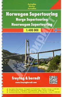
Spiral-bound Superatlas of Norway at 1:400 000 scale that depicts elevation with shaded-relief and color tinting. The map pagesshow highways and roads, scenic routes, rail and ferry lines, ports, distances in kilometers. Thorough placename index. Крепление: двойная евроспираль.


Характеристики
Издательство:
Freytag & Berndt
Год издания:
2013-01-01
ISBN:
978-3-7079-0462-8
Отзывы
0Чтобы оставить отзыв или проголосовать, необходимо авторизоваться

 0
0